No Products in the Cart


Imagine running your fingers over a map and feeling the contours of the Earth's surface beneath your fingertips. Raised relief maps offer a unique and tactile way to explore

Creating a raised relief map at home is an engaging and educational project that allows you to bring topography
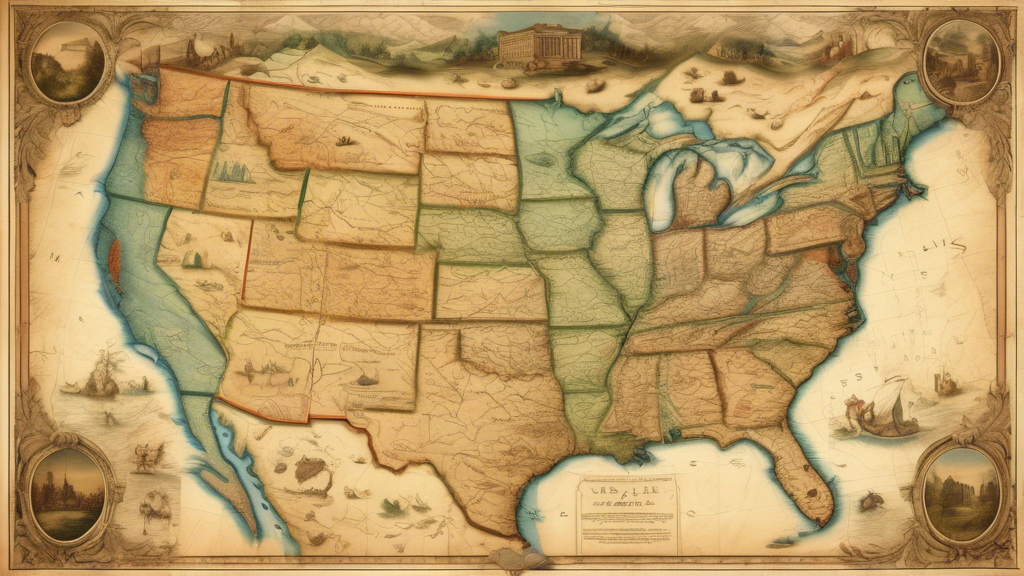
The Northeastern U
The Pacific Northwest region of
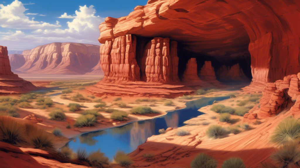
The American Southwest is a region of striking natu
RaisedRelief.com is your one-stop shop for all of your raised relief map needs. Our selection of topographic maps is the most comprehensive in the industry, providing customers with detailed, accurate representations of the world’s terrain. Our raised relief maps are perfect for educational, professional and recreational use, as they provide an easy-to-understand view of the land. With state-of-the-art manufacturing techniques, all of our raised relief maps are made with the highest quality and accuracy. Our goal is to provide the best quality, most detailed and accurate raised relief maps available, so our customers can experience the world in a whole new way. Whether you’re a student, educator, professional or hobbyist, RaisedRelief.com is the perfect place to find the perfect raised relief map.