• 800-248-6277
  • All Week From 9 AM To 5 PM CENTRAL

News filter by Topographic

DALL-E prompt: A highly detailed, three-dimensional raised relief map of the Adirondack Mountains, featuring intricate textures and elevations, displayed on a rustic wooden table surrounded by vintage

Adirondack Mountains: A Stunning Raised Relief Map

The Adirondack Mountains, located in northeastern New York State, are a breathtaking natural wonder that have captivated visitors for centuries. These ancient peaks, formed over a billion years ago

by GeoMart Staff on April 26, 2024
0
DALL-E prompt: A highly detailed, photorealistic 3D topographic map of a mountainous landscape with raised relief techniques, featuring elevated ridges, valleys, and peaks, all sculpted from materials

Creating Stunning 3D Topographic Maps with Raised Relief Techniques

Introduction to 3D Topographic Maps

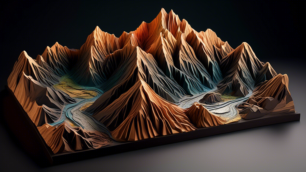
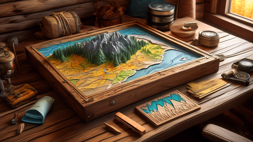
3D topographic maps are a fascinating way to visualize and explore the contours and elevations of a landscape. These maps provide a unique perspective

by GeoMart Staff on April 26, 2024
0
DALL-E Prompt:
A highly detailed 3D rendered landscape of the Swiss Alps, featuring snow-capped peaks, deep valleys, and winding rivers, with the image popping out of the frame to create an immersive

Title: Exploring the Majestic Alps in 3D Relief

This is a test of the summary
by GeoMart Staff on April 26, 2024
0
DALL-E prompt: A highly detailed, photorealistic 3D relief map of the Earth, showcasing diverse terrain including mountains, valleys, deserts, and oceans, with a vibrant color palette and dramatic lig

Title: Exploring the World's Terrain: A Captivating 3D Relief Map

Introduction to 3D Relief Maps

A 3D relief map is a fascinating way to explore and visualize the world's diverse terrain. These maps provide a unique perspective on the Earth's surface, sh

by GeoMart Staff on April 26, 2024
0
DALL-E Prompt:
A highly detailed, tactile topographic map featuring raised mountains, valleys, and rivers, with vibrant colors and intricate textures, as if the landscape is coming to life from the su

Bringing Landscapes to Life: The Art of 3D Raised Maps

This is a test of the summary
by GeoMart Staff on April 26, 2024
0
A vibrant, colorful 3D topographic map of a mountainous landscape, with realistic terrain features like peaks, valleys, and rivers, sitting on a wooden table in a classroom setting, as a group of dive

3D Maps by Hubbard Scientific: Bringing Geography to Life

Introducing 3D Maps by Hubbard Scientific

Hubbard Scientific, a leading educational materials company, has revolutionized the way students learn geography with their innovative 3D Maps. Th

by GeoMart Staff on April 26, 2024
0

BLOGS

ABOUT

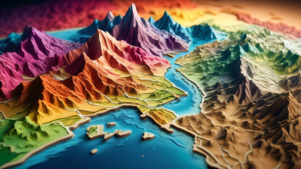
RaisedRelief.com is your one-stop shop for all of your raised relief map needs. Our selection of topographic maps is the most comprehensive in the industry, providing customers with detailed, accurate representations of the world’s terrain. Our raised relief maps are perfect for educational, professional and recreational use, as they provide an easy-to-understand view of the land. With state-of-the-art manufacturing techniques, all of our raised relief maps are made with the highest quality and accuracy. Our goal is to provide the best quality, most detailed and accurate raised relief maps available, so our customers can experience the world in a whole new way. Whether you’re a student, educator, professional or hobbyist, RaisedRelief.com is the perfect place to find the perfect raised relief map.

BACK TO TOP