No Products in the Cart


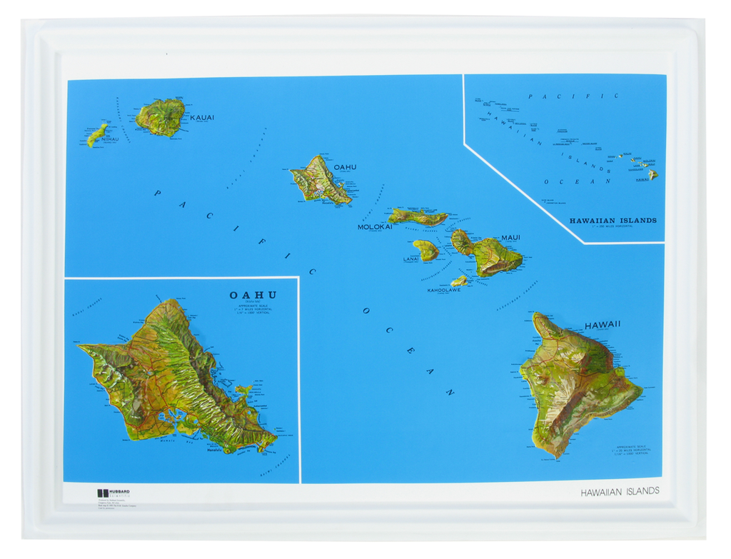
Raised relief three-dimensional maps provide an unique tactile experience to map reading. Touching the maps allow you to truly understand the terrain. For over 30 years as an authorized dealer of these maps, we have placed these maps in schools, offices, real estate offices, rental houses, restaurants, welcome centers and homes. Whether you are using this for education or for decoration, raised relief 3D maps make a perfect gift.
Raised relief three-dimensional maps provide an unique tactile experience to map reading. Touching the maps allow you to truly understand the terrain. For over 30 years as an authorized dealer of these maps, we have placed these maps in schools, offices, real estate offices, rental houses, restaurants, welcome centers and homes. Whether you are using this for education or for decoration, raised relief 3D maps make a perfect gift.