No Products in the Cart


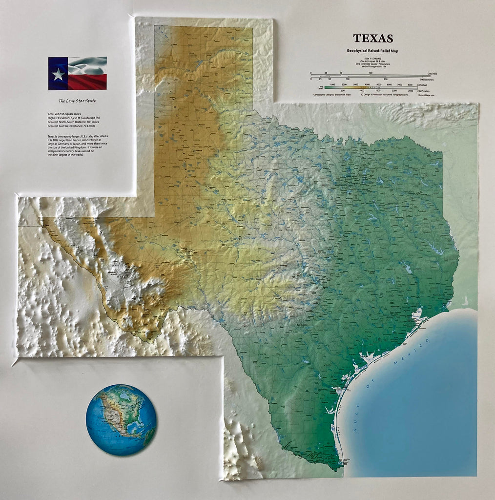
This 22" x 22" 3D map of the State of Texas accurately replicates the land's topography with a raised relief feature and an attractive elevation color-ramp base layer. It clearly labels and delineates key geographical features such as towns, rivers, mountains, and ranges, as well as the areas of neighboring states and Mexico that border the state. This map offers an immersive and detailed view of the Lone Star State.
The map is available mounted, framed in a high-quality black anodized aluminum frame, and ready to hang or buy it as a 3D poster, which tack to a bulletin board or mount and frame yourself.
Also available in large 31" x 31" size
Each raised relief map starts as a map printed on a flat study sheet of vinyl. It is carefully registered over a 3D model that is made from USGS digital elevation model data. The vinyl is heated to make it pliable and a vacuum is created to form the map over the model. Take a look at the process below.

This large map is available fully framed and ready to hang or unframed, perfect for pinning to a bulletin board.